

Silver Lake Trail, Vermont
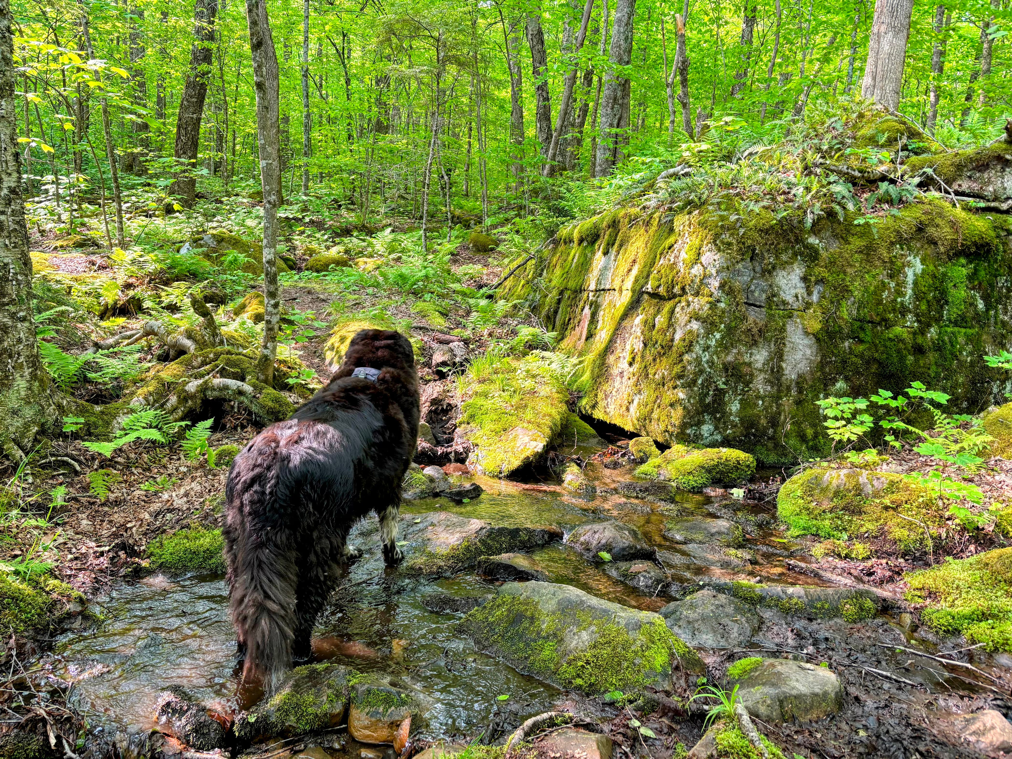
If you've never heard a dog scream, watch a 120-pounder, who can't swim, fall in a lake.

Lucky for Romy, I was able to pull her out by the harness. After that, she hiked another 5 miles, and I'm glad she rallied because this was an incredible trail.
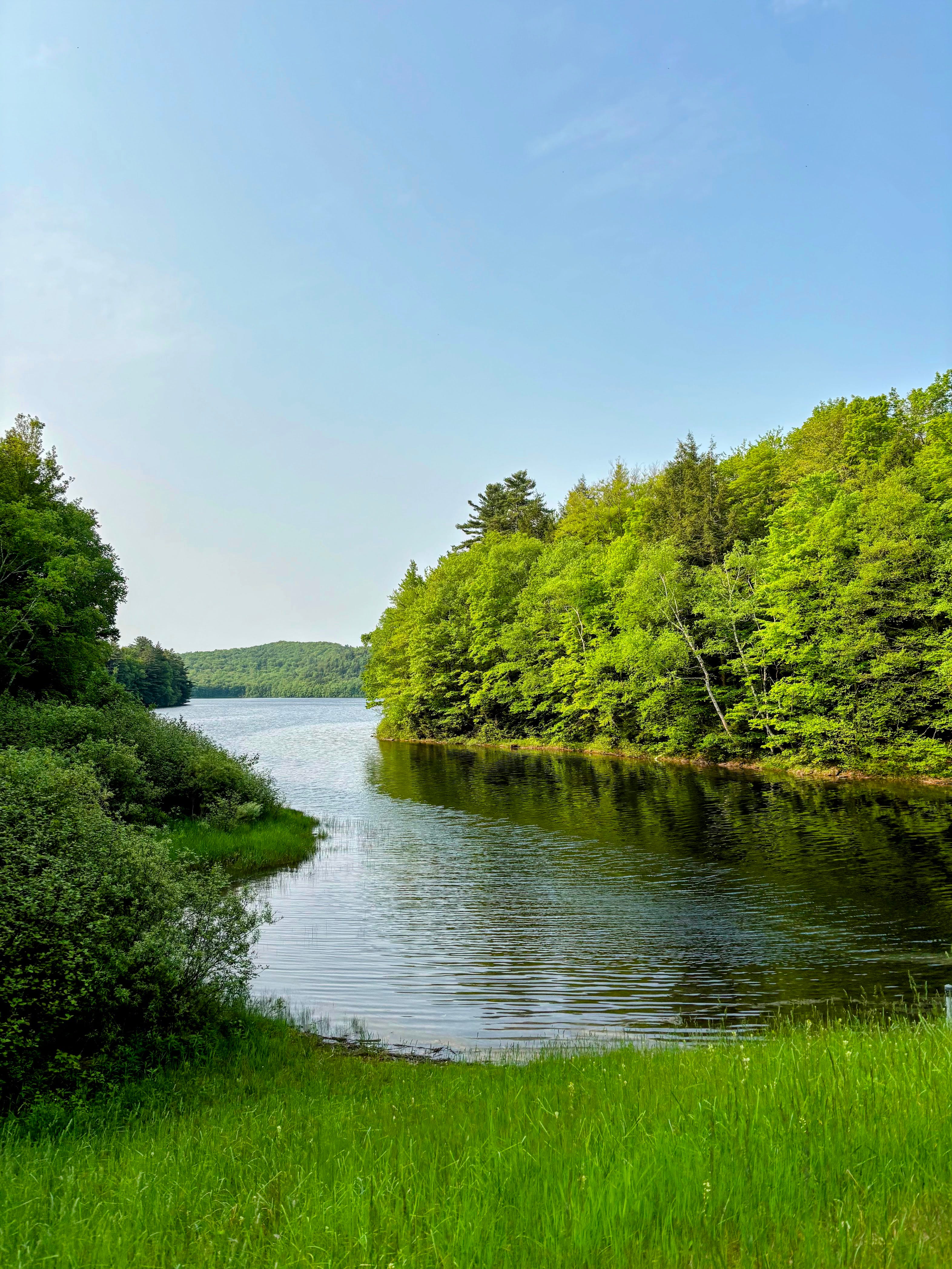
This 5.4-mile loop features Sucker Brook's cascading waterfalls and a tranquil path around the pristine Silver Lake.
Silver Lake is within the Moosalamoo National Recreation Area, situated in the northern part of the Green Mountain National Forest. Silver Lake State Park is located on the northeastern shore of the lake and features a campground and sandy swimming area. While pets are not allowed on the sandy beach, they are welcome elsewhere throughout the park. The lake is popular for paddling, fishing, and quiet recreation.


The hike begins with a climb up stone steps before joining an old carriage road that continues uphill. You’ll soon pass underneath a penstock, a huge pipe that feeds water from Silver Lake to a local hydroelectric power station on Route 53. The station, constructed in the early 1900s to supply power to iron mines in Mineville, New York, now provides electricity to over 800 homes in the Moosalamo area.
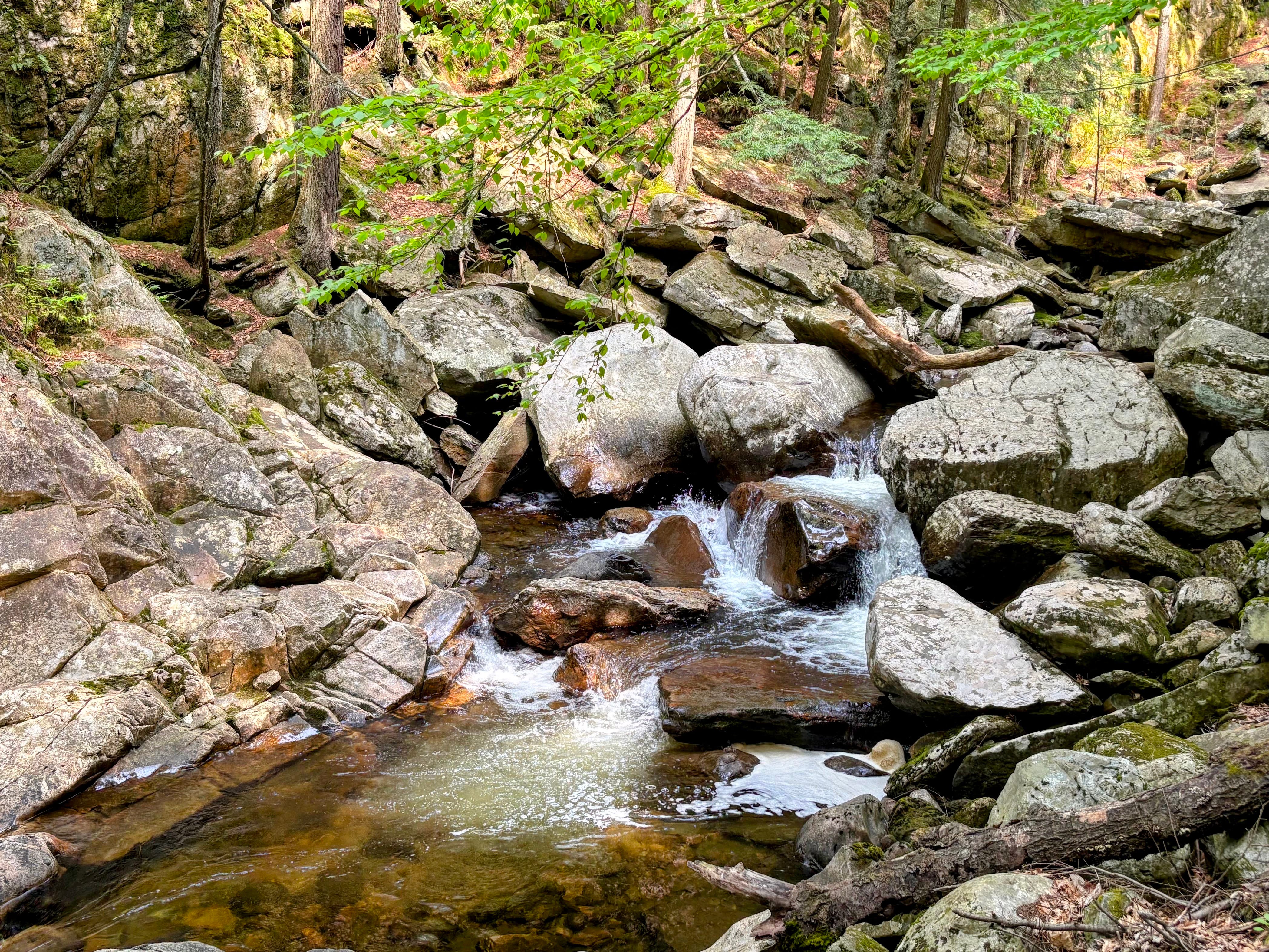
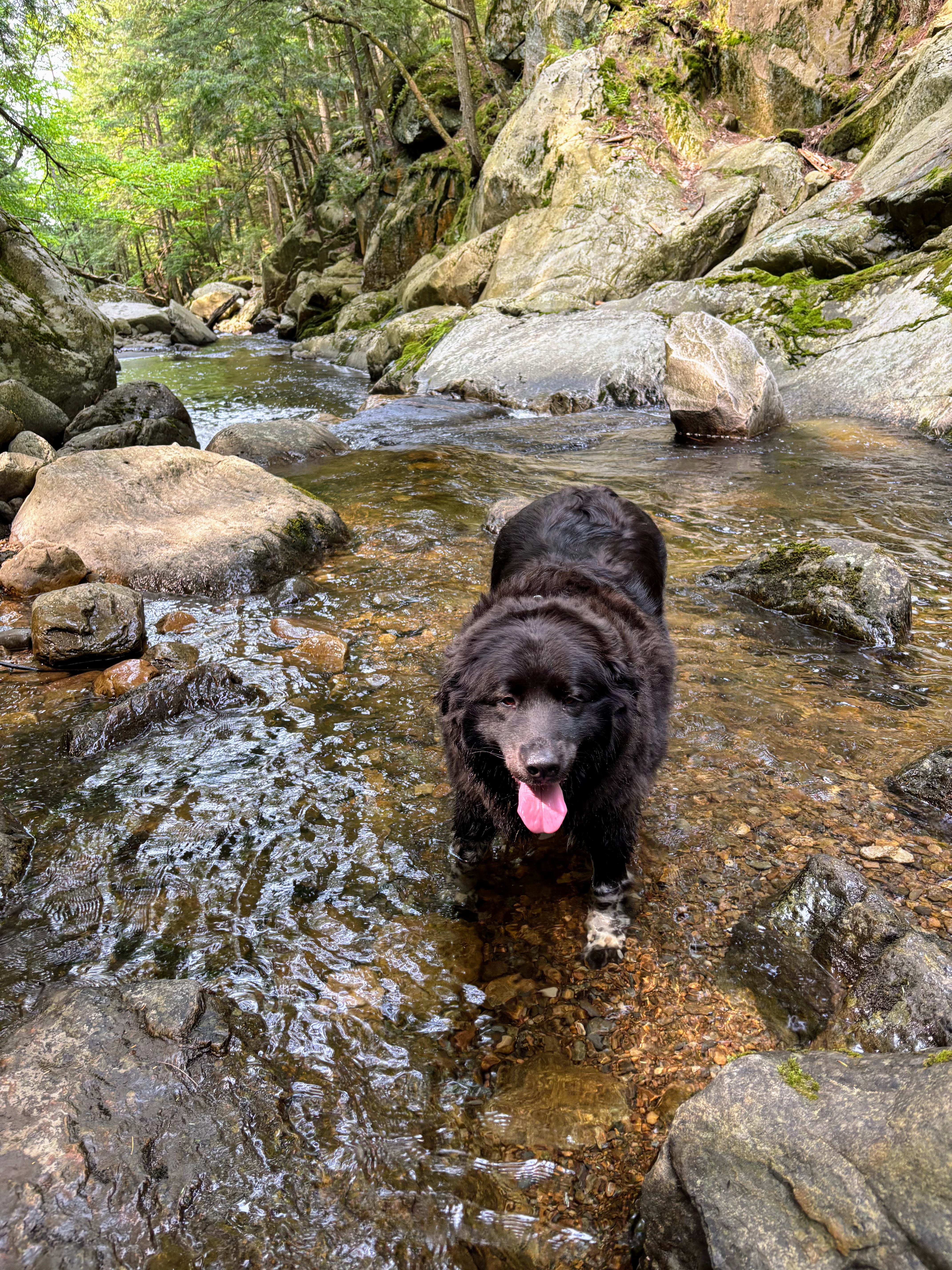
At just under half a mile, the path reaches the cascading falls of Sucker Brook, offering an ideal spot for your dog to cool off and have a drink. The trail runs alongside the brook for a short stretch before diverging near the Falls of Lana Picnic Area. The wide dirt and gravel path takes a long, wide switchback before reaching a grassy area on the lake's northern side. Follow signs for the Rocky Point Interpretive Trail, which will guide you over a dam, then veer left to navigate the narrow and rocky path around the lake's perimeter. Most of this hike hugs the lake shore, leading to a healthy bug population. Bug spray is an essential item to include in your pack.
As you approach the end of the lake loop, the trail meanders through the campground, providing an opportunity for a bathroom break if needed. Dogs are allowed on-leash in the picnic area near the sandy beach, which you’ll pass through before completing the lake loop. Stop here for some lunch, or save your picnic for the Falls of Lana Picnic Area towards the end of your hike.
TURN-BY-TURN DIRECTIONS
Parking is located off Route 53/Lake Dunmore Road in Salisbury. Find the trailhead on the northeast end of the parking lot, then ascend a section of stone steps.
At 0.4 miles, bear right towards Falls of Lana and Silver Lake. The wide dirt and gravel path soon arrives at a series of cascades on the left.
At 0.5 miles, go right towards Silver Lake. Continuing straight here would lead to the Falls of Lana Picnic Area, a stop you may consider for the end of your hike.
At 1.3 miles, continue straight, ignoring Lenny’s Lookout to the right.
At 1.5 miles, arrive at the sign “Pets must be leashed beyond this point” then take a right towards the Rocky Point Interpretive Trail. Cross a narrow metal bridge over a dam, then bear left as the trail follows the edge of the lake.
At 3.6 miles, take a left on a narrow trail leading towards the water, marked by a “Picnic Area” sign.
At 3.9 miles, complete the lake loop, then take a left to return the way you came.